


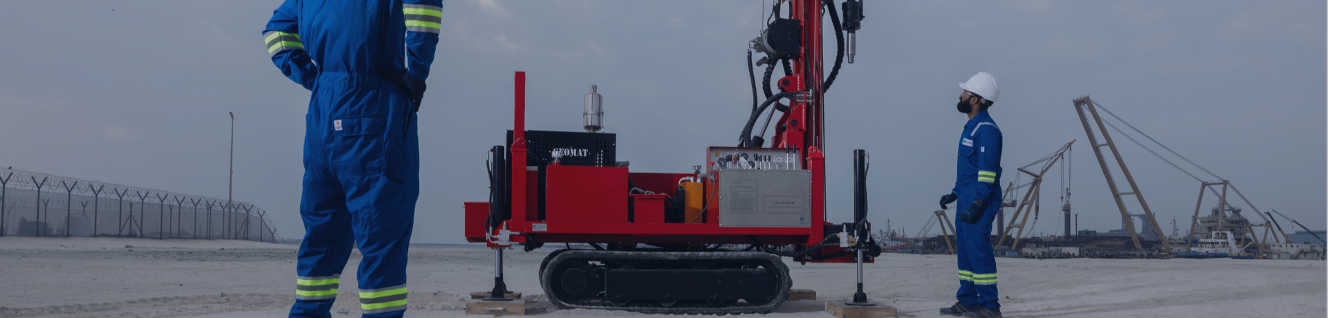
Apave Lonestar Supports ADNOC Well Digitalization Programme



From Ground Information to Engineering Confidence
Before digital or physical infrastructure can be installed, project teams need reliable information about the physical environment. Ground conditions, wellhead positions and underground utilities must be understood before engineering and installation activities progress.
Apave subsidiary, Lonestar, supported Jereh Oil & Gas Engineering Corporation across key Abu Dhabi onshore assets by coordinating geotechnical investigation, laboratory testing, surveying and underground utility detection through one regional delivery model.
One coordinated team. Reliable technical information. Better-informed project decisions.

AT A GLANCE
The challenge
ADNOC’s Well Digitalization Programme is upgrading selected onshore wells across the Bab, Buhasa and South East assets with remote monitoring and control capabilities, as part of the Smart Upstream 4.0 initiative to modernise operations across Abu Dhabi’s onshore fields. Before any digital or physical infrastructure can be installed, ground conditions, wellhead positions and underground utilities must be accurately understood. Jereh Oil & Gas Engineering Corporation appointed Apave Lonestar to coordinate that ground investigation across all three asset areas.
The scope required:
- Ground condition assessments to support engineering and installation planning.
- Soil characterisation, chemical analysis and corrosivity testing.
- Wellhead positioning and survey control points across all three asset areas.
- Underground utility detection and mapping before installation.
- Accurate technical drawings and engineering outputs.
- Coordination of field, laboratory and reporting activities.
For a project of this nature, fragmented technical activities can create inconsistent information, duplicated effort and additional handovers between disciplines.
ADNOC Specification | ASTM Standards | Abu Dhabi International Building Code
All deliverables produced to full regulatory and engineering specifications
One coordinated delivery model



Geotechnical Investigation
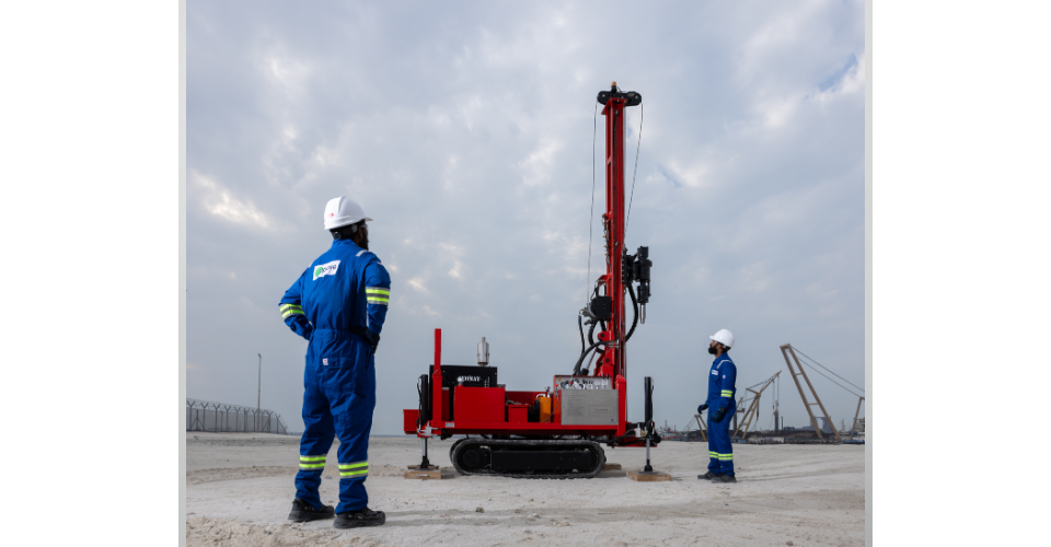
Bab, Buhasa & South East
- Soil boring and field investigation
- SPT testing at defined intervals
- Laboratory classification & chemical analysis
- Corrosivity assessment & bearing capacity reports
- Settlement analyses & interpretative reports
- All work to ADNOC GES & ASTM standards
- Supervised by registered geotechnical engineers
Topographic & Underground Detection
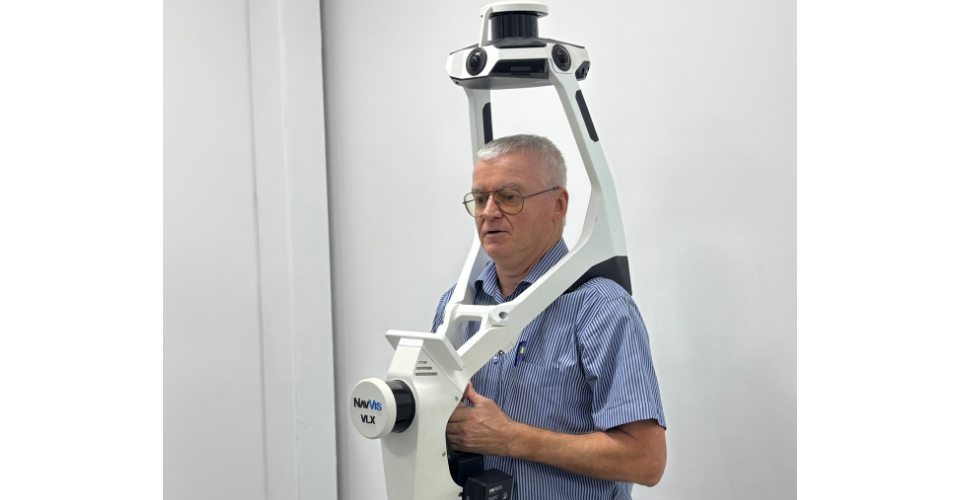
Bab, Buhasa & South East
- Survey control network establishment
- Detailed well head area mapping
- Wing valve orientations & cellar levels
- Electromagnetic underground utility detection
- Ground-penetrating radar where required
- Trial pit verification at congested locations
- Digital Terrain Models (DTM)
- Full AutoCAD deliverables



The Value for the Client
Ground data is not a deliverable - it is a decision. Every foundation design, every installation sequence, every risk assessment that follows depends on what was found and recorded at this stage. When that data is incomplete, inconsistent, or split across vendors, the cost shows up later, in redesigns, delays, and programme risk.
Apave Lonestar's integrated delivery model was built specifically to eliminate that risk at source. It helped the project team to:
- Improve visibility of ground and site conditions across dispersed locations
- Identify potential utility constraints before installation activities began
- Support engineering and construction planning with accurate, verified data
- Reduce uncertainty through one coordinated regional team
ADNOC and Jereh moved into the next phase with improved visibility of ground and site conditions, fewer unknowns at design stage and faster, more informed engineering decisions.
Local Knowledge That Informs Every Decision
Most technical inspection companies in the Gulf can offer local expertise. Lonestar has been building it since 1992.
For more than three decades, Lonestar’s geotechnical engineers, laboratory specialists and survey teams have worked across the UAE’s energy, infrastructure and industrial sectors - building the field knowledge, the regulatory familiarity, and the client relationships that shape reliable delivery in this market.
What this programme required was not just technical competence. It was the ability to coordinate geotechnical investigation, laboratory analysis, and topographic survey as a single workflow, across dispersed locations, to one quality standard, with one team accountable throughout.

Since 1992

One coordinated team

Apave Group subsidiary
Planning a complex upstream or infrastructure project?
Reduce uncertainty before the next phase begins
You may also be interested in

Discover our other
news